
Report a concern (311)
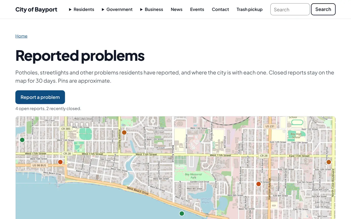
A 311-style form with a map pin and photos. Each report goes to the right inbox, the resident gets a status page, and the city can show a public map of open issues.
How it works
Three steps, no web team needed
Drop a pin
Residents pick a category, place the spot on a map and add a photo.
It reaches the right inbox
With the location, category and photos attached.
Everyone sees progress
The resident gets status emails, and the public map shows open reports.
For residents
- Drop a pin on a map, pick a category and add a photo
- Follow the report on a status page
- See what has already been reported on the public map
For city staff
- Reports arrive with location, category and photos
- Update the status and the resident is emailed
- Turn the public map on or off
See it in the demo city
What residents see, and what staff use
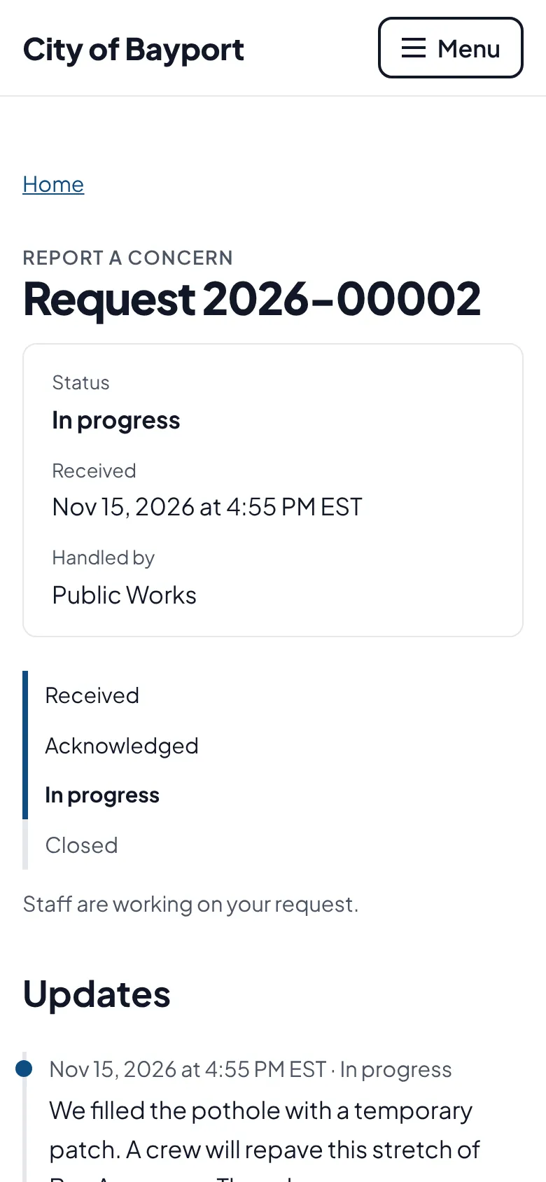
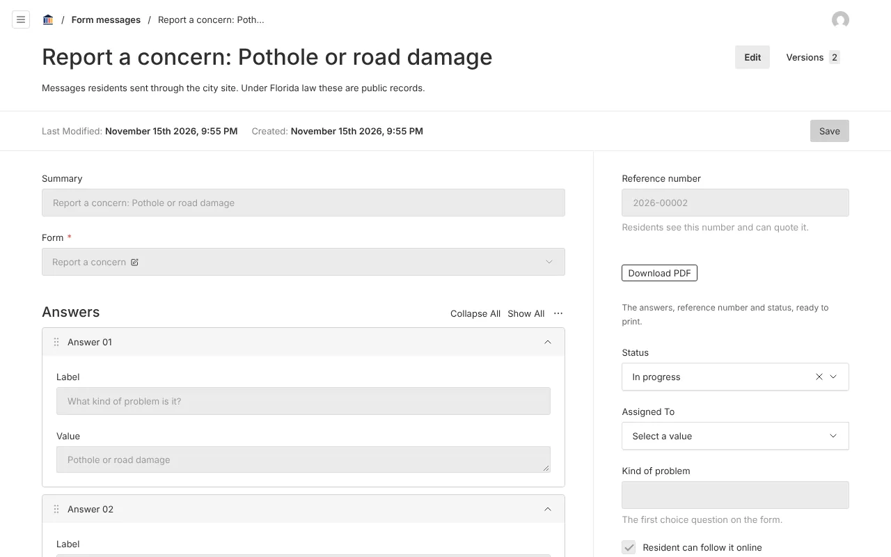
Screenshots from Bayport, our made-up demo city. Select any screenshot to see it full size.
Key features
- Map pin field
- Residents place the exact spot on a street map.
- Public problem map
- Open reports shown by category, with locations rounded for privacy.
- No private details shown
- Names, contact details and descriptions stay with staff.

Ready before April 2027?
We move your content, set up your departments, and train your staff, so your new site is ready well ahead of the deadline.